We Mapped the Places of Residence of Cossacks from the 1649
We mapped places of residence from the 1649 Cossack Register. Most identified locations come from the Bila Tserkva and Bratslav regiments. Explore Cossack settlements and historical geography on Roots.
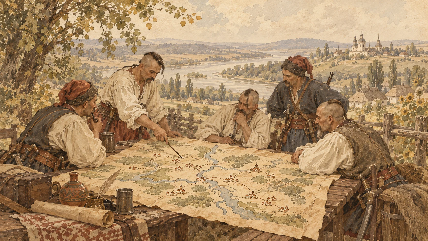
We continue to develop the Roots interactive map. This time, we analyzed the places of residence recorded in the 1649 Register of the Zaporozhian Host.
We were able to normalize a number of historical place names and link them to modern geographic coordinates. This makes it possible to see where individual Cossacks recorded in the register lived.
View Cossack places of residence on the map
Why the map does not contain all 40,000 Cossacks
The 1649 Register contains 40,470 Cossack names, but a specific place of residence was not recorded for every person.
This is primarily a feature of the original historical source rather than missing data introduced during digitization. Different regiments compiled their registers in different ways.
Some lists were organized mainly by companies, while others additionally grouped Cossacks by individual towns and villages.
The resulting map should therefore not be interpreted as a complete map of the entire Cossack population recorded in 1649. It represents only those entries for which a place of residence can be identified.
Most of the geographic data comes from two regiments
Bila Tserkva Regiment — approximately 2,990 Cossacks
This section of the register is effectively organized by locality rather than solely by the usual company lists.
As a result, a specific settlement can be identified for a substantial number of Cossacks belonging to the Bila Tserkva Regiment.
Bratslav Regiment — approximately 2,655 Cossacks
The Bratslav Regiment has a somewhat different structure. Cossacks are divided into companies, but within those companies they are frequently grouped by individual settlements.
This makes it possible to reconstruct the geography of the regiment in considerably greater detail than for many other parts of the register.
Why most mapped places are in today's Vinnytsia and Zhytomyr regions
On the modern map, a large proportion of identified places is concentrated in what are now Vinnytsia and Zhytomyr regions.
This does not mean that most Cossacks in the 1649 Register lived only in these areas.
The pattern is largely the result of how the historical register was compiled. The structure of the Bila Tserkva and Bratslav regiment lists more often allows us to identify an individual Cossack's settlement.
Other regiments covered extensive parts of Ukraine as well, but their lists often do not contain sufficiently precise settlement information for each person.
What the map can be used for
- exploring settlements where Cossacks were recorded as residents;
- studying the geography of the Bila Tserkva and Bratslav regiments;
- finding settlements with large concentrations of registered Cossacks;
- comparing historical place names with modern ones;
- studying links between particular surnames and geographic areas;
- using geographic information as an additional genealogical research tool.
Historical place names require additional research
One of the main challenges is identifying the settlements themselves. Place names in the register were written according to 17th-century spelling conventions, while many settlements were later renamed, merged, or disappeared.
Before adding a location to the map, we try to determine which modern or historical settlement the original entry refers to.
If a location cannot be identified with sufficient confidence, we do not assign the record to a random place simply because the names are similar.
The map will continue to improve
Work on the 1649 Register is still ongoing. Some difficult historical place names require additional research using old maps, gazetteers, and other historical sources.
As these places are identified and their coordinates verified, additional records will appear on the Roots map.