Roots Now Has an Interactive Map for Historical Records
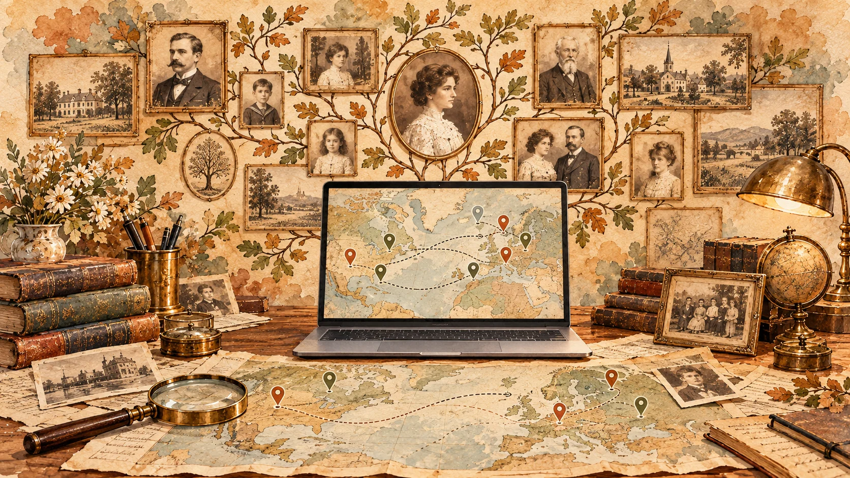
Roots now has an interactive historical map. Explore places of birth and residence, filter records by database, and study the geography of ancestors, surnames, migrations, and local history.
We have added a new tool to Roots for researching family and local history — an interactive map of places found in historical records.
You can now explore our historical databases not only by surname, name, or other search parameters, but also geographically: see where people were born and lived, and, as more data is processed, work with other types of geographic references.
How the map works
Each archival record may contain one or more geographic references. These may include a village, town, district, governorate, region, or another place connected to a person’s life.
We gradually identify these place names, normalize historical and modern variants, and link them to geographic coordinates. Once processed, the records become available on the map.
The map can already be filtered by place type and by specific database. For example, you can separately view places of birth or residence, or show records from only one selected database.
This makes it possible to work with historical data not only as lists of records, but also spatially: to see concentrations of people in particular areas, compare different sources, and study the history of a specific locality.
Which databases are already represented on the map
The map already includes data from several Roots databases. Geographic processing is still ongoing, so the number of mapped records differs significantly between databases.
Cossack Register of 1649
One of the most processed databases currently available on the map. The register contains tens of thousands of names, as well as information about regiments, companies, positions, and places of residence.
On the map, this database can be used to study the geography of Cossack families, find localities connected to particular surnames, and explore the distribution of Cossacks from different regiments.
Learn more about the Cossack Register of 1649
Rehabilitated by History
A large database about people who were subjected to Soviet repression. Records may include place of birth, last place of residence, place of work, information about arrest, sentencing, and later fate.
As geographic processing progresses, this database will make it possible to study the geography of repression, population movements, and links between places of birth and later residence.
Learn more about “Rehabilitated by History”
GPU of Ukraine Special Register
This database contains information about former officers of the White armies and Ukrainian national armies who were placed under special surveillance by the GPU of the Ukrainian SSR in the 1920s.
Available information includes places of birth and residence. As processing continues, the map will help show where former military officers lived after the revolution and civil war.
Learn more about the GPU of Ukraine Special Register
Cossack Register of 1581
This register contains information about the composition of the Cossack community in the late 16th century. For some people, information about origin or residence is available.
In the future, the map will make it possible to compare the geography of Cossacks in the 16th century with later Cossack registers from the 17th century.
Learn more about the Cossack Register of 1581
Sumy Regiment Register of 1660
The database contains the personnel of the Sumy Cossack Regiment and information useful for studying the formation of the population of Sloboda Ukraine.
Once place names are normalized, the map can help investigate the origins of settlers and the geography of the formation of the Sumy Regiment.
Learn more about the Sumy Regiment Register of 1660
List of People Who Saved Others During the Holodomor in Ukraine
This database contains information about people who helped others survive during the Holodomor.
After geographic processing, these records can be used for local studies of rescue stories and for identifying settlements where such cases were documented.
Learn more about the list of rescuers during the Holodomor
How the map can be used
The map is useful not only for traditional ancestor searches. It also allows research to begin from a specific place — a village, town, or region.
- find people connected to a specific locality;
- compare records from different historical databases;
- study the geography of a particular surname;
- analyze places of birth and residence;
- trace movements between regions;
- study the local history of settlements;
- compare geographic patterns across different historical periods.
In the future, when the same locality is represented in several databases and different historical periods, the map will make it possible to move from a geographic point directly to the stories of people connected with that place.
The data is still being processed
A large part of our archival records contains historical, incomplete, or differently written place names.
To display them correctly on a modern map, each geographic reference must be identified, normalized, and linked to coordinates. Because of this, data is added gradually.
We continue to process addresses, add new databases, and expand the number of geographic data types available on the map.
Help us speed up processing
Processing hundreds of thousands of historical records requires server resources and time. If you would like to help us normalize addresses faster, add new databases, and continue developing the map, you can support Roots with a donation.